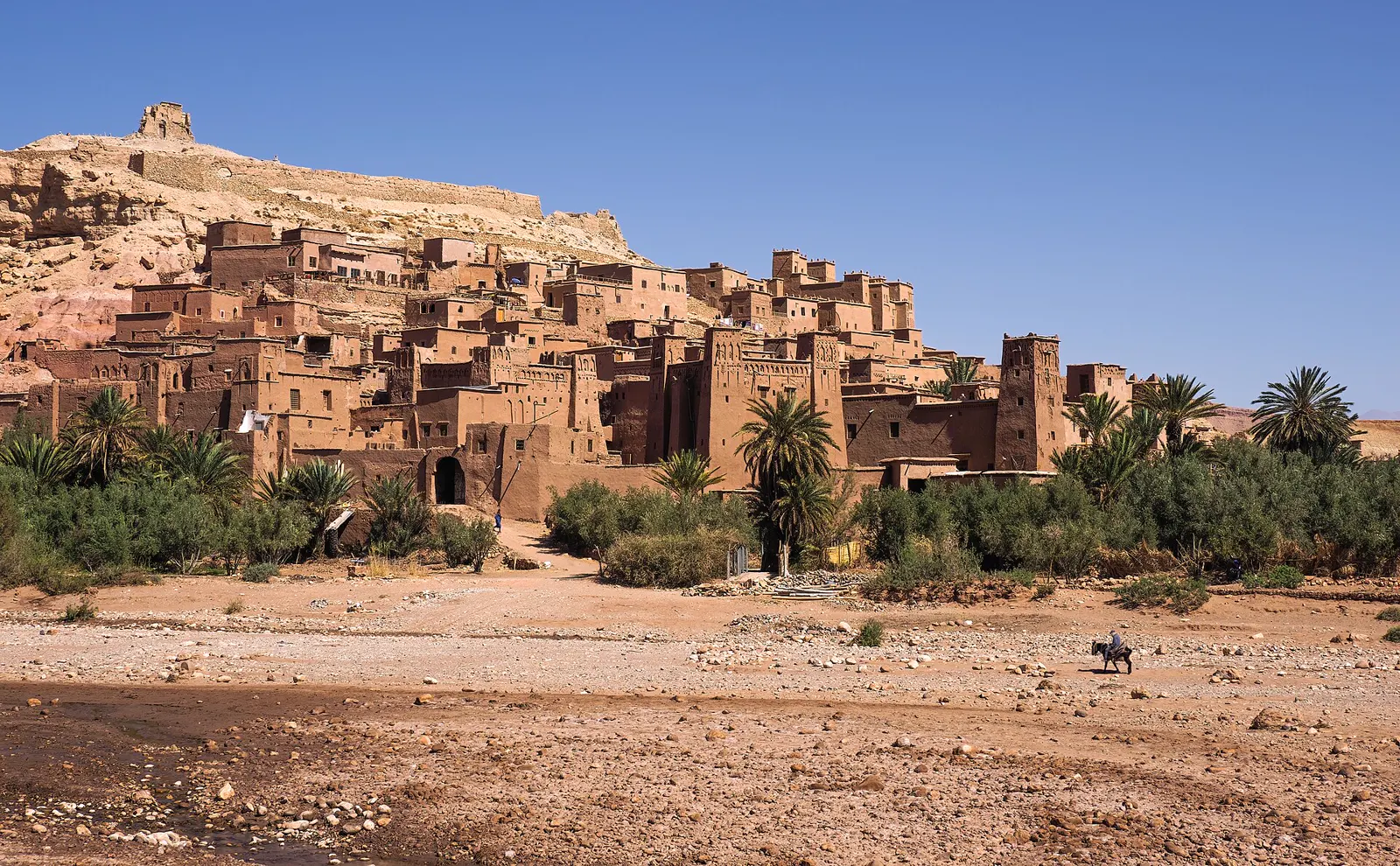
5 daysSahara
5 Days Marrakech, Atlas & Sahara Student Trip
Marrakech → High Atlas → Ait Ben Haddou → Dades → Todra → Merzouga → Marrakech
A slower, student-friendly desert itinerary with more time to stop and learn.
Group price on requestView trip
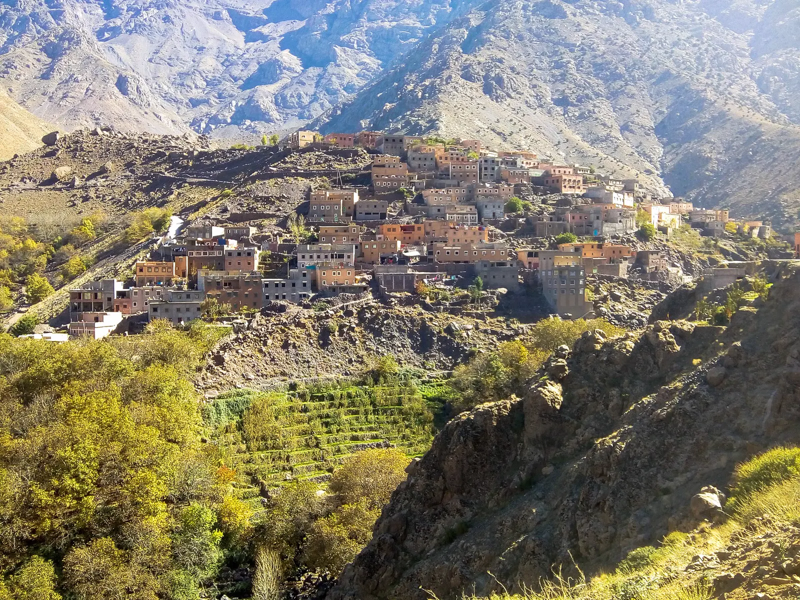
Geography field trips
In a few days of driving, students cross snow-capped mountains, irrigated valleys, stony desert and the sand sea of Erg Chebbi. Few countries within easy reach of Europe show physical and human geography this clearly.
Morocco turns textbook diagrams into things students can stand on. Tectonic uplift is visible in the folded rock of the Atlas, water scarcity explains the shape of every oasis, and changing settlement patterns show how people adapt to altitude, climate and trade routes.
Marrakech → High Atlas → Ait Ben Haddou → Dades → Merzouga → back via the Draa valley. Each day changes altitude, climate and land use, which makes a natural field transect.
Base in the High Atlas foothills for valley walks, village visits and discussions on terraced farming and seasonal water.
Walks are graded for the group's age and fitness and led by local guides. In warm months outdoor activity is planned for mornings and late afternoons. See our student trip safety page for full details.
Student travel safety in Morocco →4 days is the minimum to reach the Sahara comfortably from Marrakech; 6–7 days allows a full mountains-to-desert transect at a calmer pace.
Teachers can add specific stops for data collection, extend time in one landscape or combine geography with history at Ait Ben Haddou and the kasbah route.
Custom student tours →Related tours
Marrakech → High Atlas → Ait Ben Haddou → Dades → Todra → Merzouga → Marrakech
A slower, student-friendly desert itinerary with more time to stop and learn.
Marrakech → Ait Ben Haddou → Dades → Merzouga → Middle Atlas → Fes
Marrakech, the Sahara and Fes in one well-paced week.
Your choice of cities and regions
A tailor-made itinerary linked to your school curriculum.
Yes. We can plan time at viewpoints, villages and oases for observation and data collection. Fieldwork tasks and methods are designed by your teachers.
We don't claim formal alignment with any syllabus. Teachers tell us which topics matter and we build stops around them.
Spring and autumn are most comfortable for walking in the mountains and desert. Winter is possible but nights are cold; summer is very hot in the Sahara.
Tell us about your group and dates. We'll reply with a tailored proposal — no payment needed to request a quote.